|
Shortly before attending a science conference on Kauai in November 2004, Joe spent two weeks on vacation in Hawaii. While there he was on four of the islands - Oahu, Kauai, Maui and the Hawaii (the Big Island). The photos here are just some of the spectacular areas he visited. |
 |
 |
 |
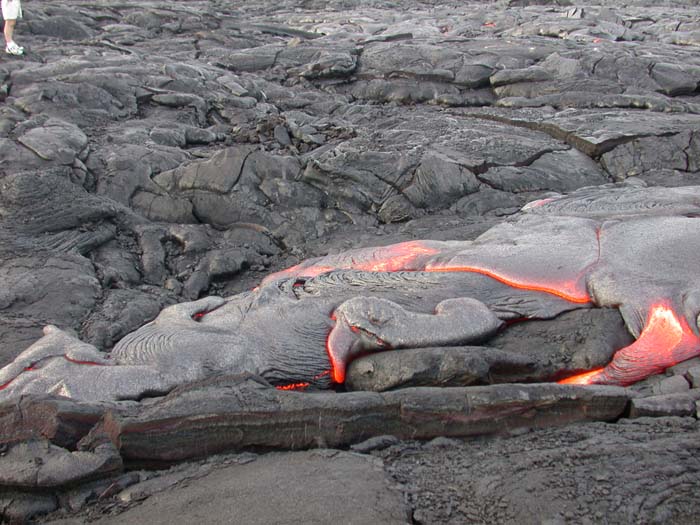
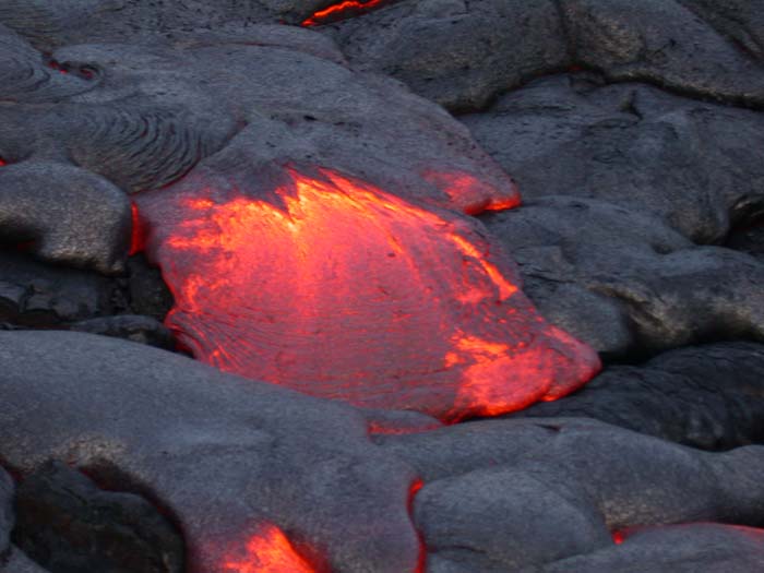
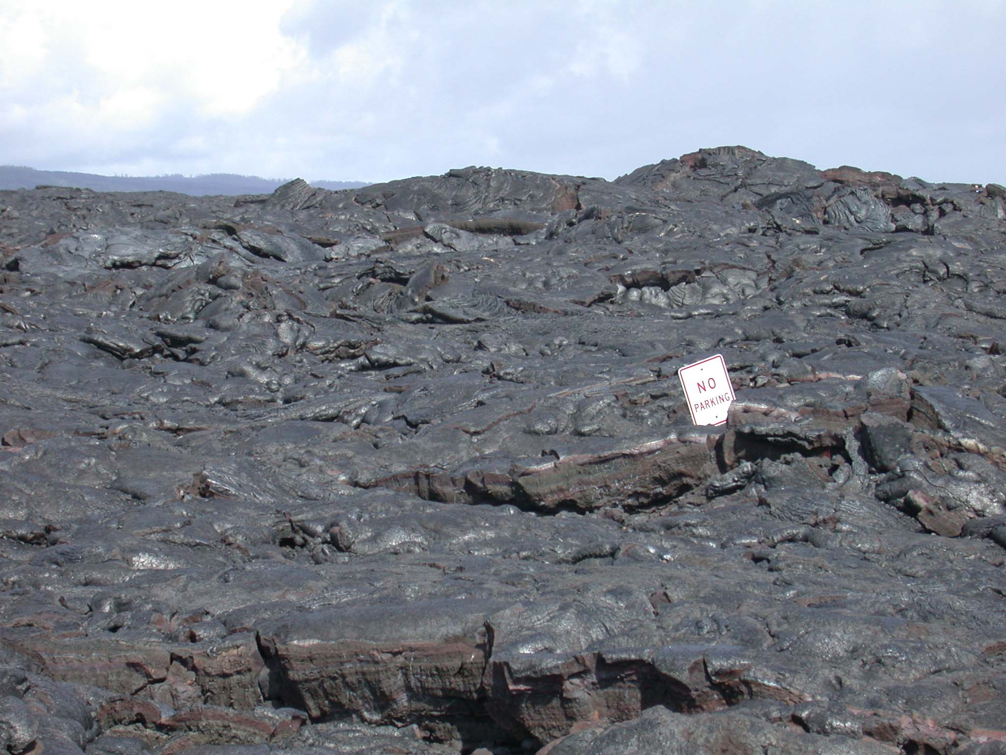
(above, left and right) Starting in 1986, Kilauea, the large active volcano of the Big Island, began nearly continuous effusive eruption. This activity generated so much lava that it completely closed off part of the Chain of Craters Road in Hawaii Volcanoes National Park. When he visited, Joe hiked about a mile and a half beyond the closed road over the glassy volcanic surface to see the hot lava up close.(left) In 2003, this "No Parking" sign was consumed by the lava as it continued to flow over the Chain of Craters Road and the surrounding region on its way to the ocean. This sign is about ten feet off the road surface. |
 |
In 2004, the Halema'uma'u Crater of Kilaeua was quiet, as seen here. However, in 2008, activity in this crater began again with a series gas emissions from a fumarole on the east wall. Several minor to moderate explosions occurred in March to Septemeber 2008. This crater had been inactive since 1982. |
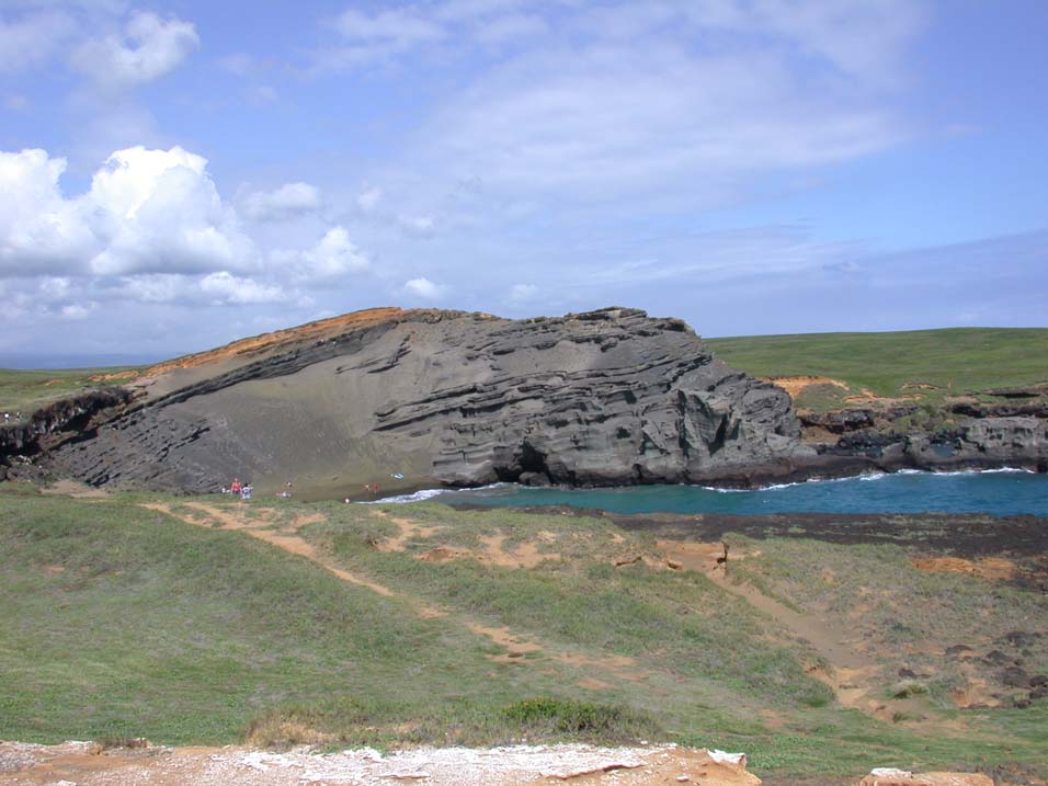
Papakolea Beach (also known as Green Sand Beach) is partially encircled by the now eroded, 49,000 year old cinder cone, Pu'u Mahana. The Green Sand Beach gets its distinctive coloring from olivine, a very common mineral in Hawaiian lavas. |
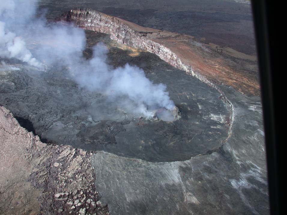 |
(left) The primary active crater of Kilauea is Pu'u'o'o, as seen here from a helicopter. This cinder cone has been continuously erupting since January 3, 1983. |
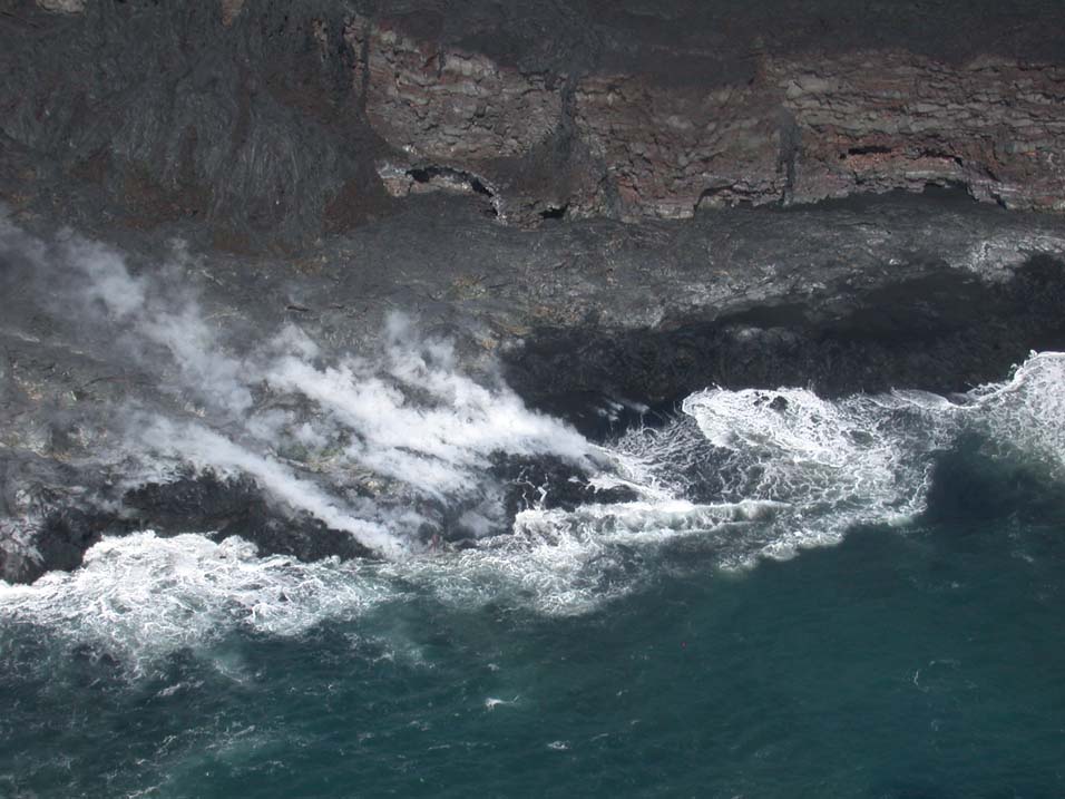
(right) As the lava flows from Pu'u'o'o down the flanks of Kilauea, it crosses the Chain of Craters Road, eventually entering the Pacific ocean, where it cools and becomes new land. This is an aerial view of the steam rising from the newly cooled lava. |
 |
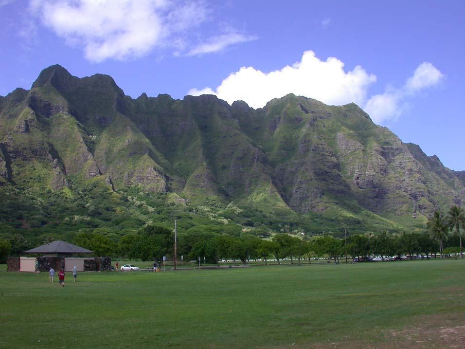 |
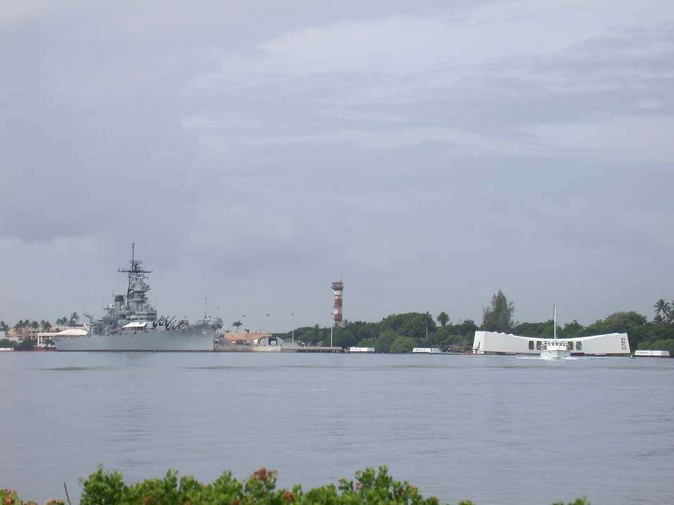
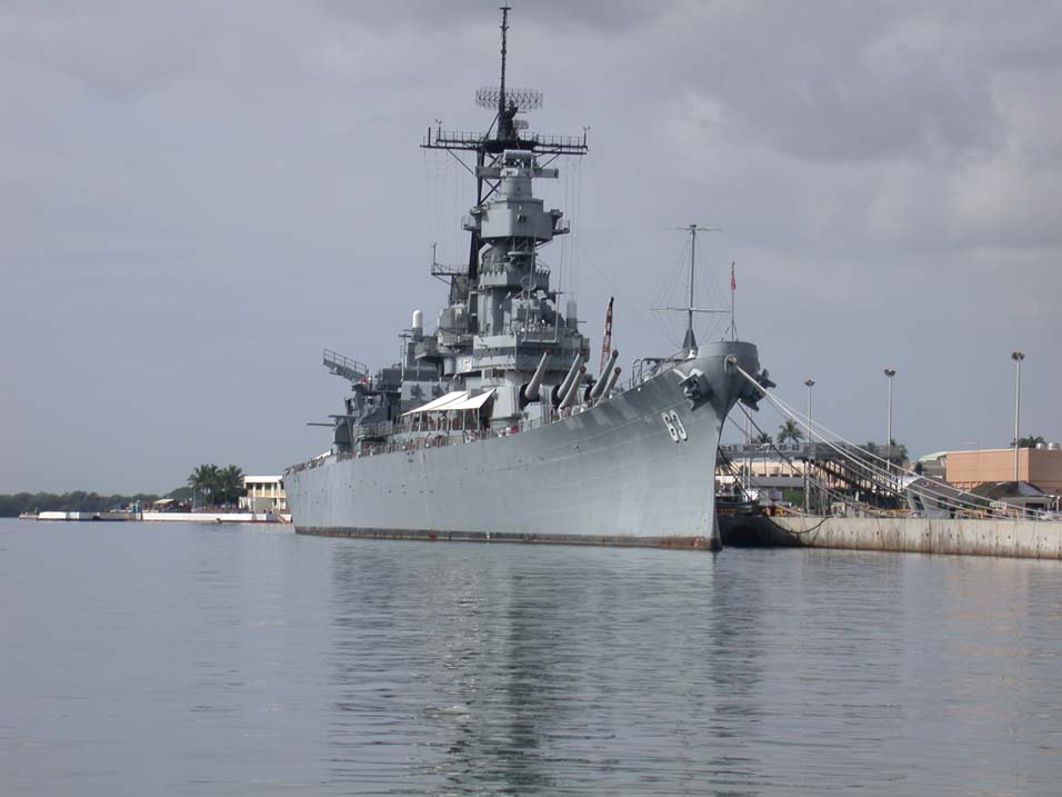
(left) Kualoa Valley on the windward coast of Oahu.(below, left) Docked in Pearl Harbor are the two objects that mark the beginning and end of World War II for the United States. On the right, the USS Arizona memorial and on the left the USS Missouri. On December 7, 1941, the Arizona was sunk in the harbor with over 1000 men aboard, causing the United States to enter the war. On September 2, 1945, the Instrument of Surrender was signed by the Japanese foreign affairs minister aboard the Missouri, officially ending World War II.(below, right) The USS Missouri sits in Pearl Harbor as a war memorial. |
| 
|
 |
 |
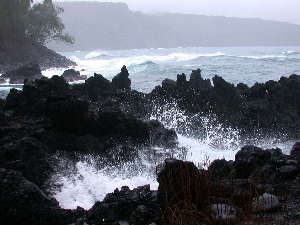
A rainy, windy day at Kaenae Point on Maui. |
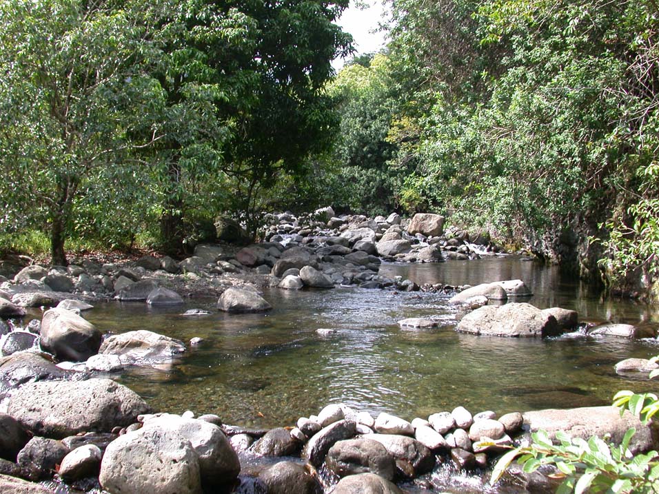
A quiet, off-the-beaten-path stream in the Iao Valley on Maui. |
 |
|
|
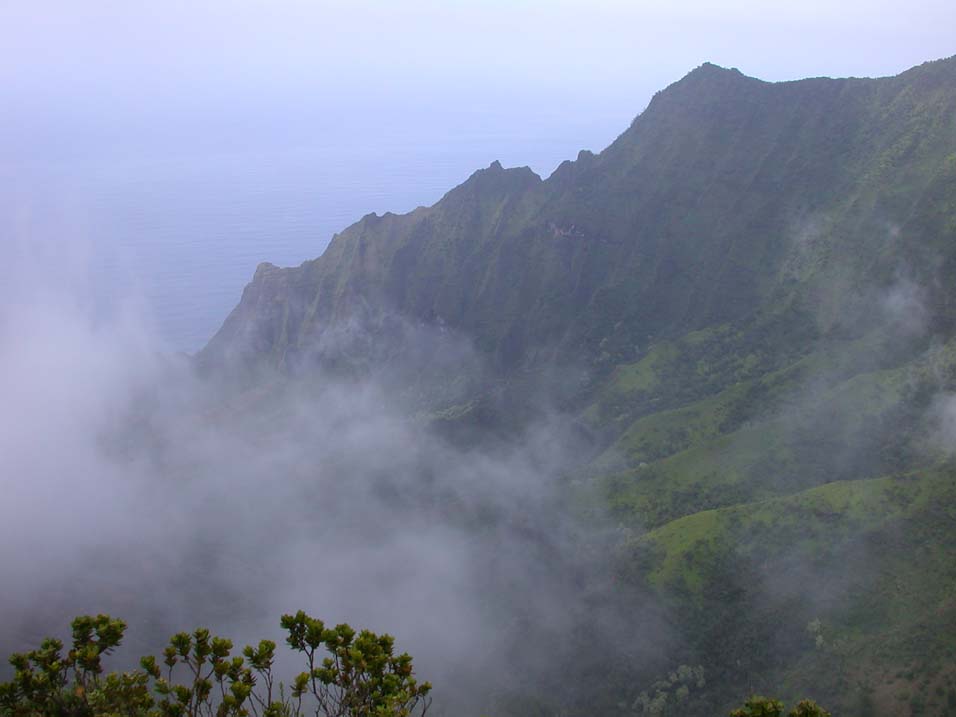
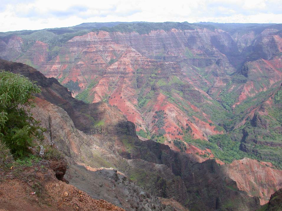
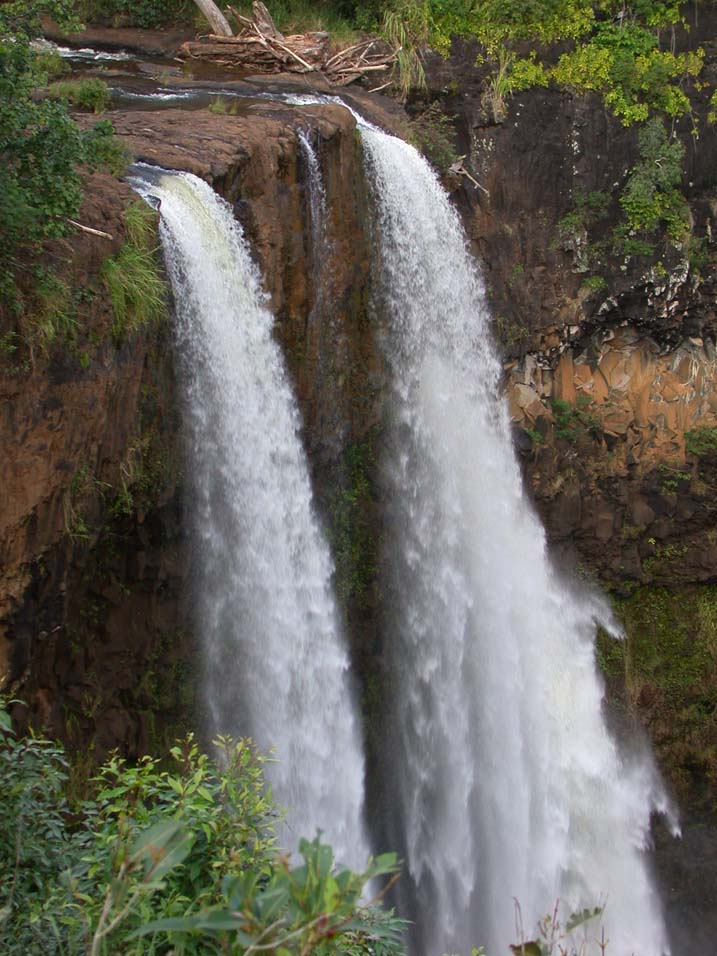
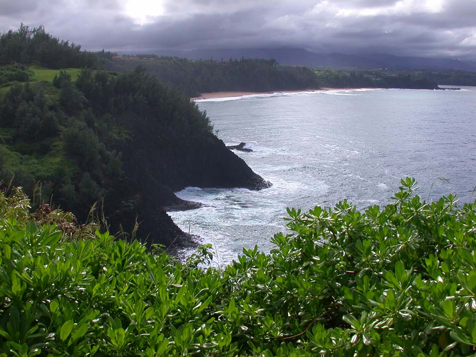
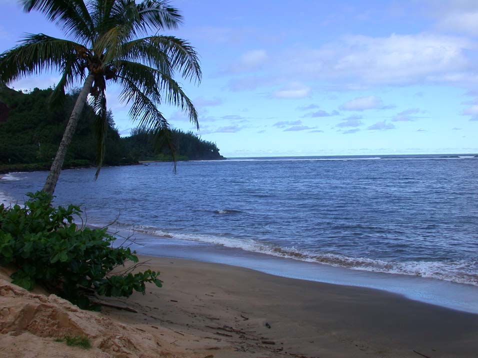
(top, left) One of the more pristine places left in the Hawaiian Islands is on Kauai along the Napali Coast.(top, right) Waimea Canyon, Hawaii's smaller versionof the Grand Canyon.(left) Wailua Falls, the 80 foot tall falls on Kauai.(below, left) Kilauaea Lighthouse on Kauai. Kilauea Lighthouse began lighting the way for mariners in 1913 and served as a pivotal navigation point for ships sailing to the Orient.(below, right) Hanalei, a peaceful place along Kauai's north coast. |
| 
|